34.96 Acres Lot
34.96 Acres Lot
Key Details
Property Type Vacant Land
Sub Type Unimproved Land
Listing Status Active
Purchase Type For Sale
Subdivision Matthews A
MLS Listing ID 20751299
HOA Y/N None
Annual Tax Amount $41
Lot Size 34.960 Acres
Acres 34.96
Property Description
Location
State TX
County Cooke
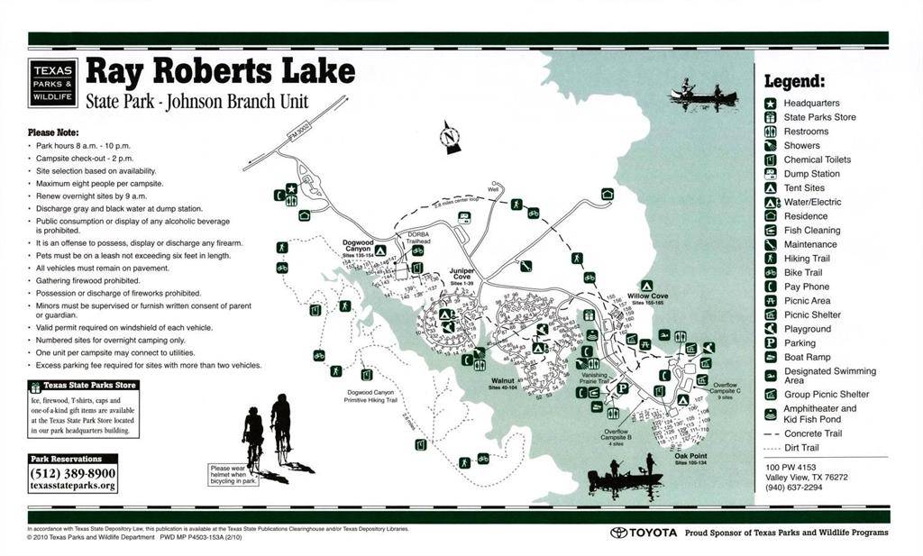
Zoning LAKE RAY ROBERTS ZONING BOARD
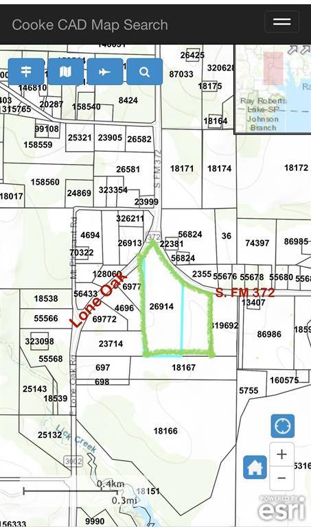
Direction GPS to address or from I-35, East on Lone Oak Rd. (FM 3002), Right or East on FM 372, Land is on the right.
Exterior
Fence Barbed Wire
Utilities Available Co-op Water, Electricity Available
Street Surface Asphalt
Lot Frontage 349.0
Garage No
Building
Lot Description Acreage, Agricultural
Schools
Elementary Schools Pilot Point
Middle Schools Pilot Point
High Schools Pilot Point
School District Pilot Point Isd
Others
Restrictions Agricultural,Animals,Deed,Development,No Mobile Home
Ownership Of Record
Acceptable Financing 1031 Exchange, Cash
Listing Terms 1031 Exchange, Cash
Special Listing Condition Deed Restrictions

Request More Info


